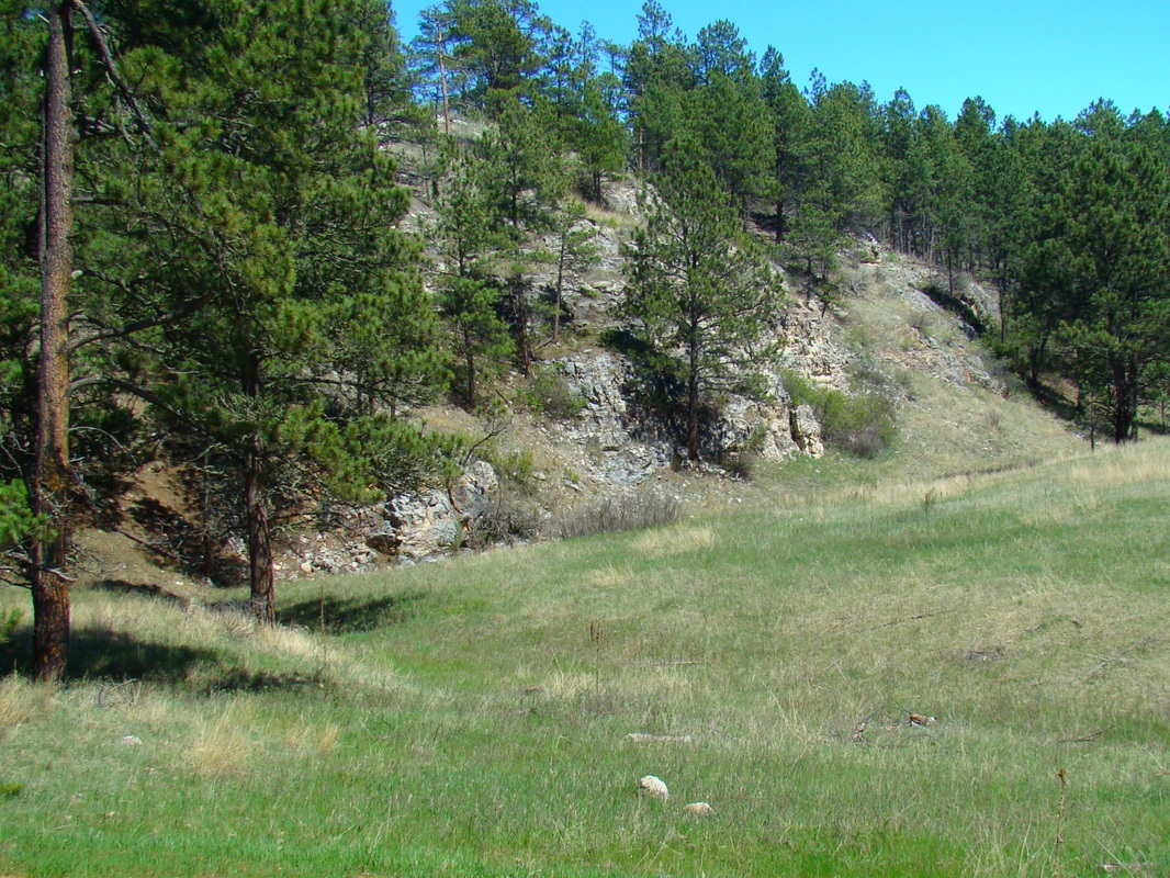
Wildcat Canyon
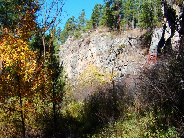
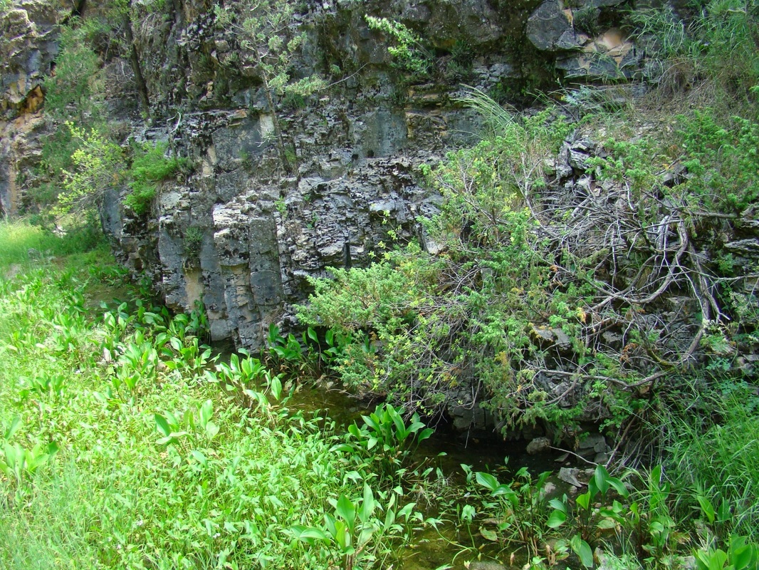
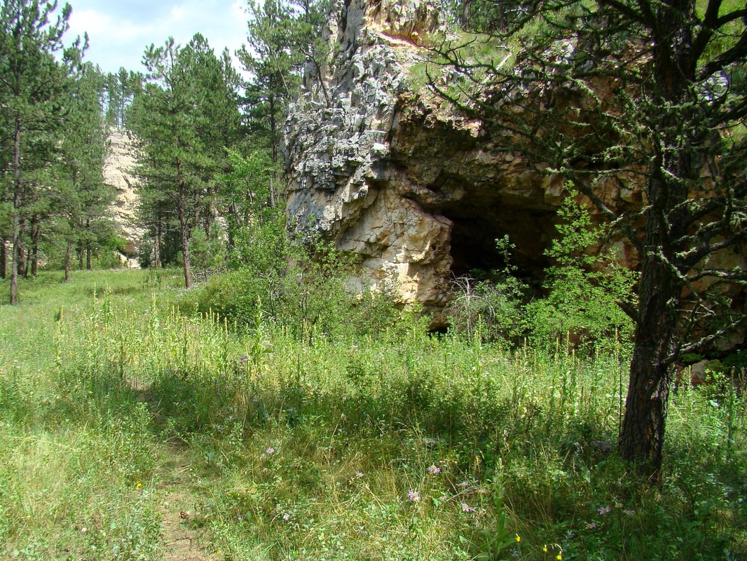
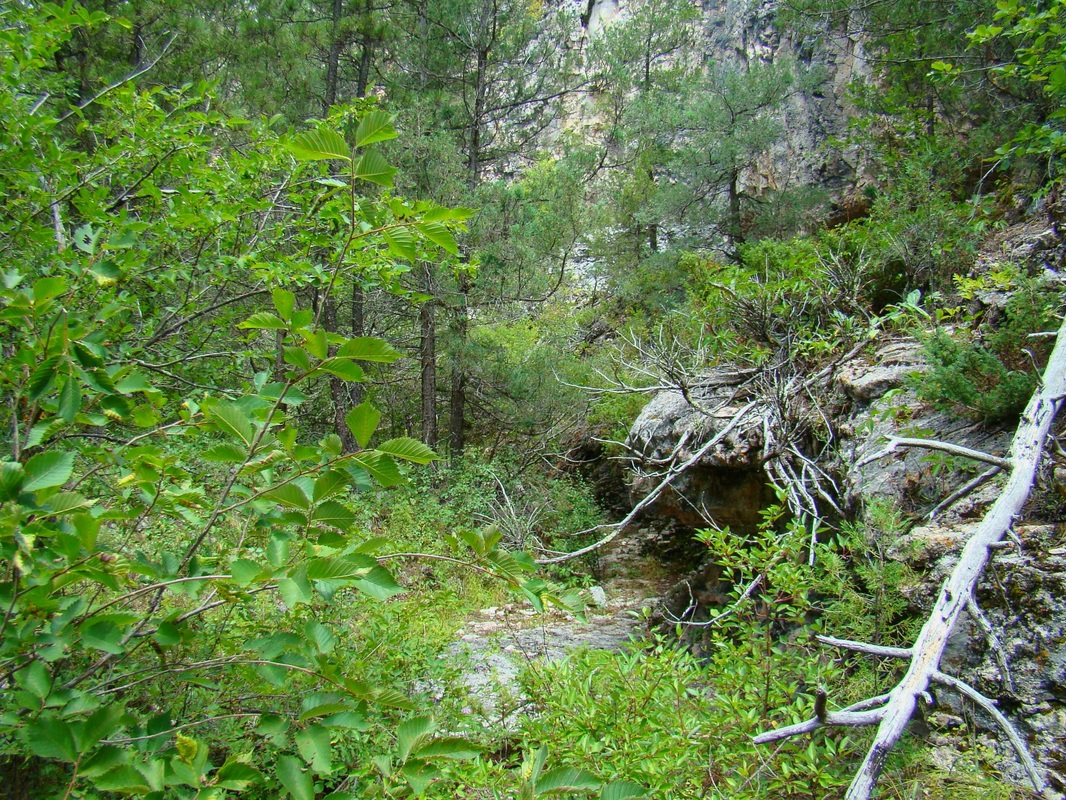
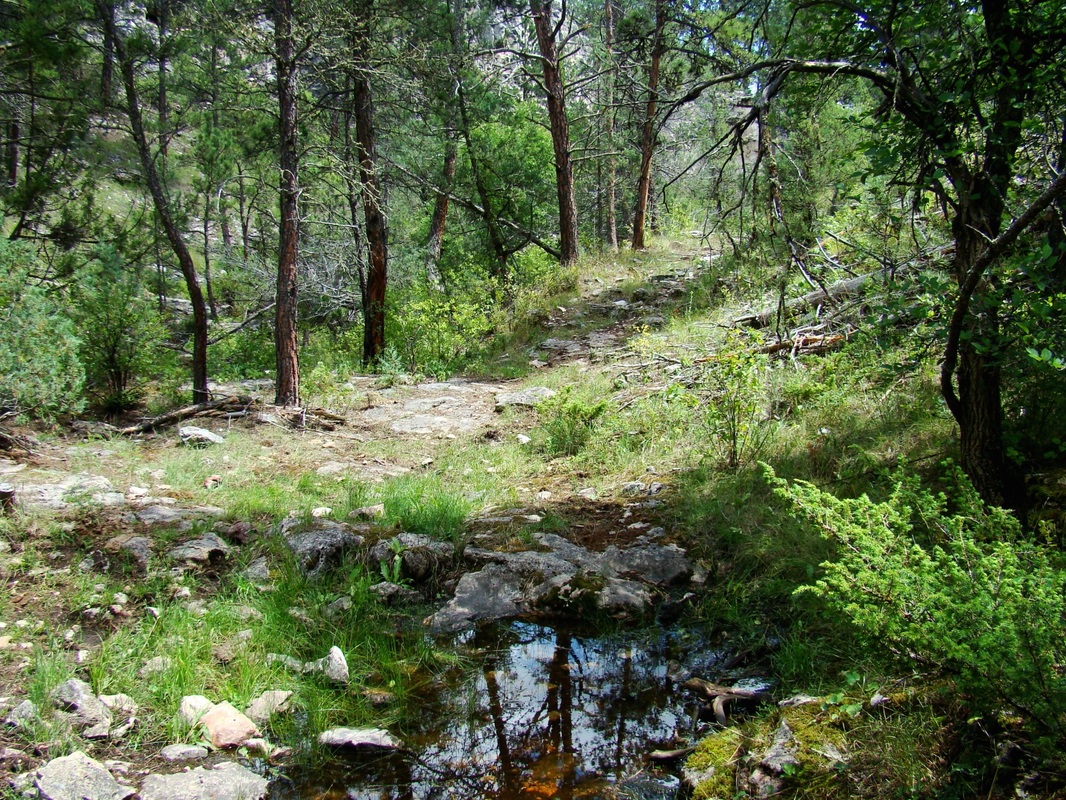
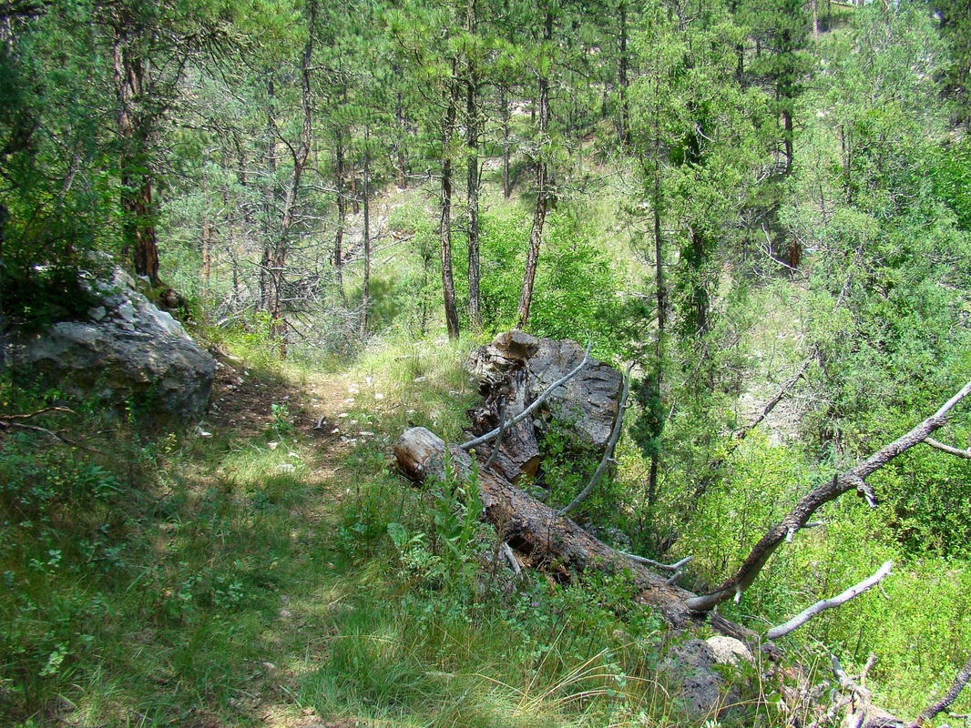
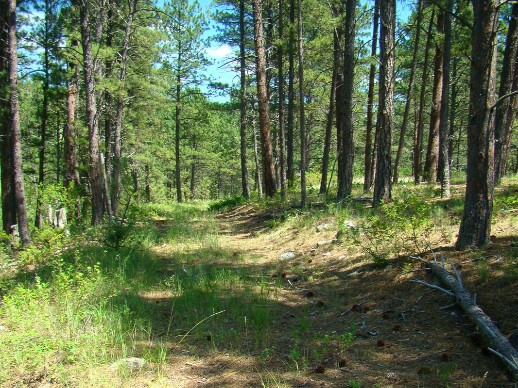
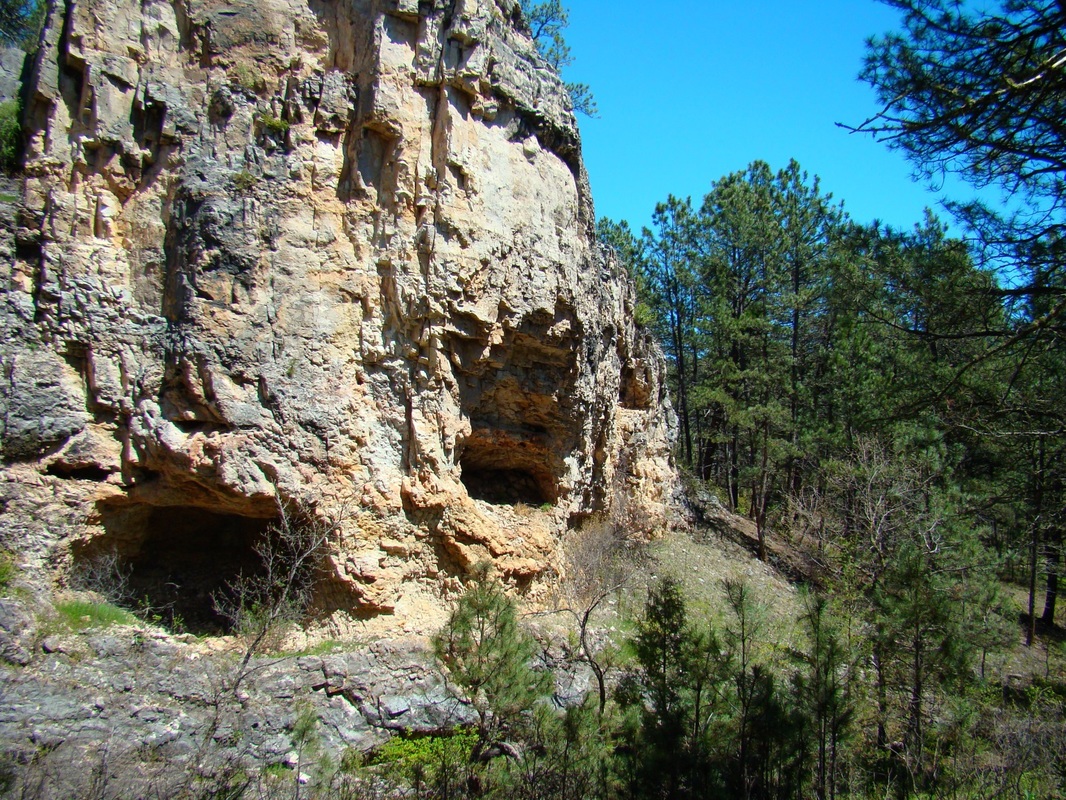
While we do not usually recommend off-trail routes for other hikers, Wildcat Canyon provides some easy off-trail options, as well as routes defined by old forest service roads and mountain bike trails. Due to the abundance of caves in the canyon, most notably Onyx Cave, plus it’s relatively close proximity to the nearby town of Hot Springs this canyon has seen more visitors in the last 125 years than most of the other canyons in this part of the Black Hills. A century ago, Onyx Cave competed with Wind Cave for visitors. Onyx Cave has some impressive stalactites and stalagmites. Some explorers in the canyon have found well-preserved dinosaur tracks along with fossils and chalcedony in the form of agates and onyx. Wildlife is in abundance here in the form of deer, marmots, rabbits and wild turkeys. Elk sometimes migrate through the canyon and the area is occasionally visited by coyotes or an occasional mountain lion. Most of the snakes in the canyon are harmless, but it is still wise to watch out for rattlesnakes. There are a few springs in various places, usually found at the base of high limestone walls in the bends of the canyon. The floor of the canyon is not a good place to be during major thunderstorms, given the potential for flash flooding. Hunting seasons can occasionally impact your hiking options in the canyon.
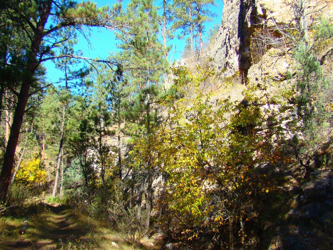
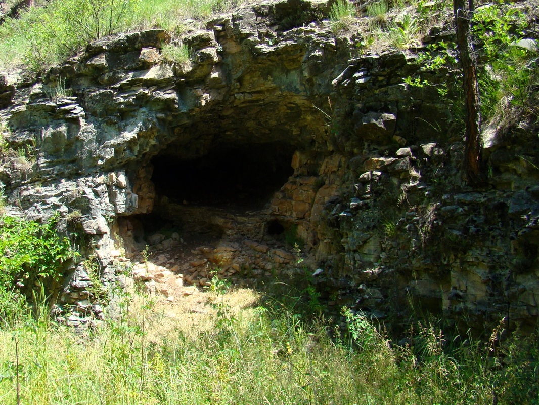
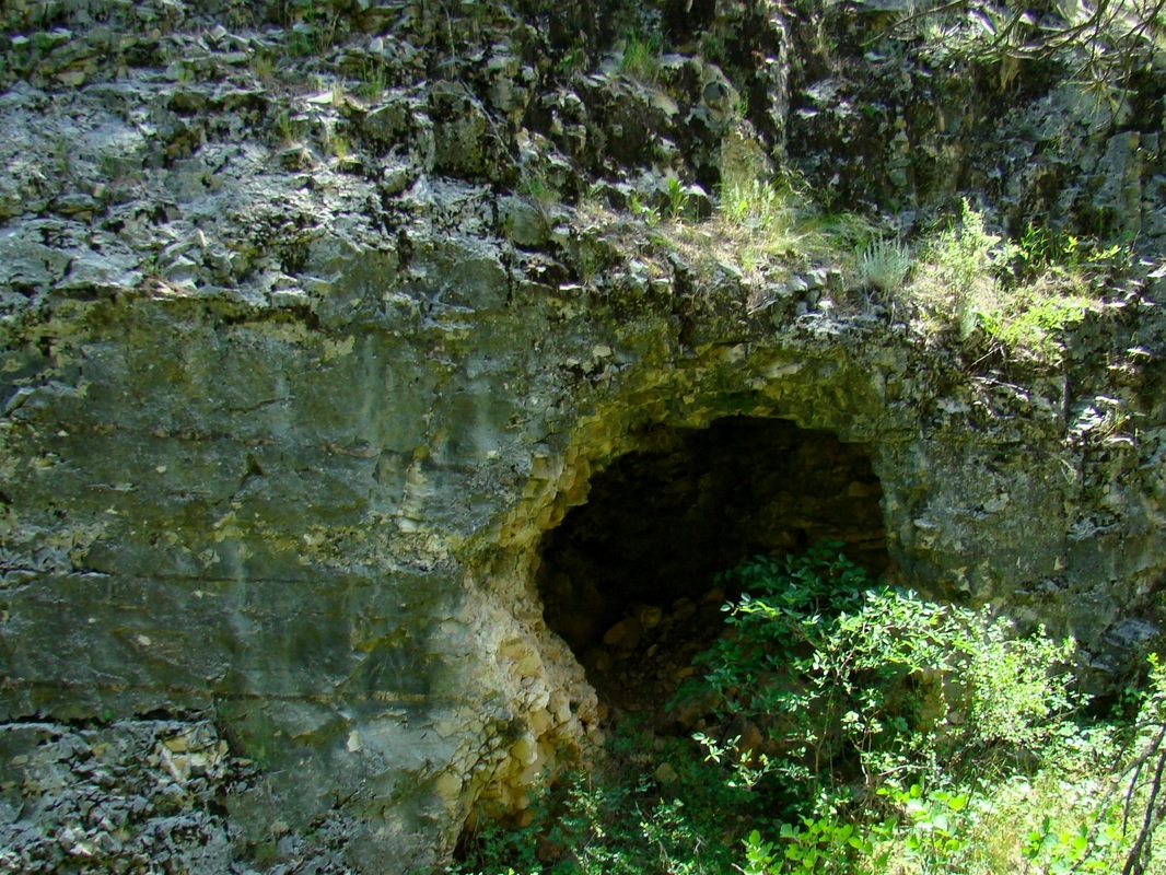
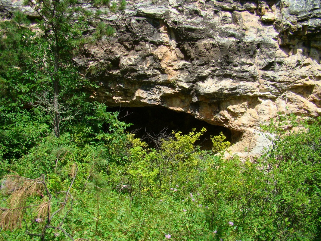
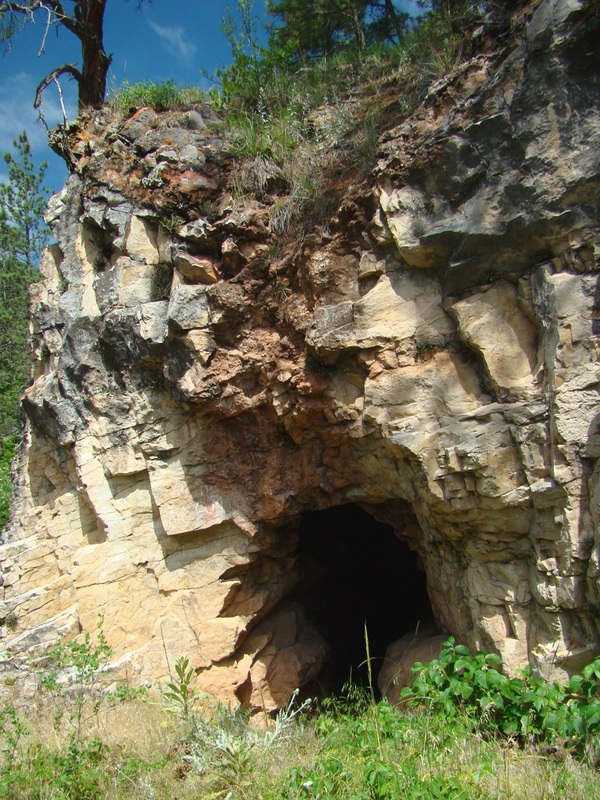 The entrance to Onyx Cave
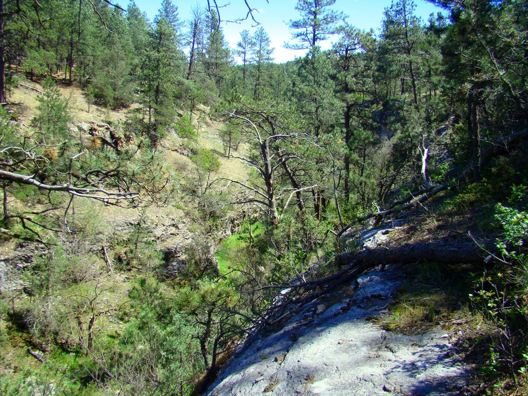
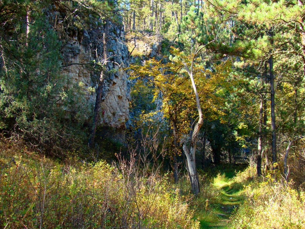
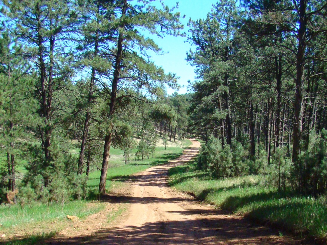
The canyon is about 4.5 miles long from the western end at Song Dog Road to the mouth of the canyon where it joins Cold Brook Canyon, dropping about 500 feet in altitude over that length. All exploration ends at the private property line at the canyon mouth (point 4 on the map). Much of the canyon is steeply sloped hillsides, but there are also many limestone walls in the range from 80 to 200 feet high. It’s in these walls where one finds many caves and dens, which are often home to various forms of wildlife. The lower section of the canyon was all private property on the Lady C Ranch until just a few years ago when it was purchased by the National Forest Service. There was an old two-track road that ran through the lower canyon and connected to forest service road 682.2N years ago. Now that road is gated shut and is slowly being obliterated by native grasses. Still, it provides a good base for hiking – almost off-trail hiking, but not quite.
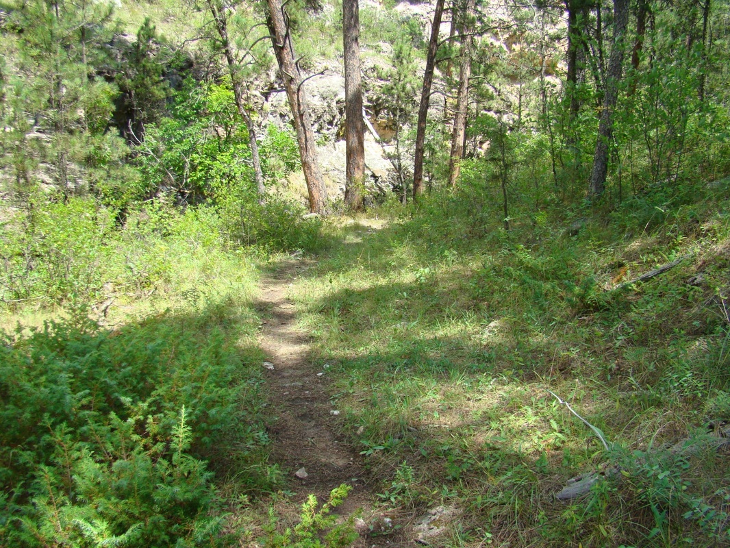
Hiking through the canyon is very enjoyable, due to the solitude and great beauty of the canyon. Many species of birds reside there due to plenty of nesting opportunities in the cliffs and trees. Besides the abundance of ponderosa pine trees, there are many spruce, cottonwood and aspen trees found there. Visitors to the canyon need to be aware that cattle are grazed in forest areas adjacent to the canyon and may be encountered along some of the roads leading to the canyon. A new mountain bike race, The Wildcat Classic, is so named because the whole race centers on the Wildcat Canyon area. There is an unofficial trail through the upper half of the canyon, thanks to the mountain bike traffic and Wildcat Classic race developers.
The map on this page shows the various access points and routes available to explore the canyon, and includes a mostly-unmarked 5-mile mountain bike trail from Argyle Road. Forest Service Road 682.2N will take visitors close to the mid-point of the canyon floor. This allows hikers and explorers to do several “out-and-back” options for the upper and lower portions of the canyon. To get to FSR682.2N, travel approximately 1.5 miles north of Hot Springs on Highway 385 to Argyle Road and turn west. Follow Argyle Road for 6 miles, then turn north on Song Dog Road and go .8 mile to FSR 682.2N. It is .4 mile to the fork in the road, with FSR682.2N going to the right and FSR682.2Q going to the left.


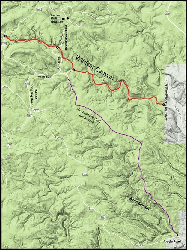 Wildcat Canyon Area Map
Some Route Options:
1. From Song Dog Road: For a 4.5-mile (one-way) out-and-back hike from the west, you can travel one mile north past FSR682.2N and park alongside the road there. This is just above where the watershed turns into a canyon. Following the canyon 4.5 miles downstream will take you to the mouth of the canyon where it joins Cold Brook Canyon. You will encounter “no trespassing” private property less than a quarter-mile from where Wildcat Creek joins Cold Brook Canyon. Of course, you can also do an out-and-back of any shorter length you wish from this access point too.
A loop route from Song Dog Road would be possible by exiting the canyon at Access Point 2 (see map) and hiking back on FSR682.2Q, FSR682.2N and Song Dog Road back to your start point. This loop would be about 3.8 miles. Or, if you wanted a little longer loop route that included Onyx Cave, you could exit the canyon at Access Point 3 and hike FSR682.2N back to Song Dog Road and your start point. This loop would be about 4 miles.
As you study the map, you will see there is another loop route option using the canyon floor pathway, Song Dog Road, 682.2l, 682.2M and 682.2Q. This loop would be around 4 miles also.
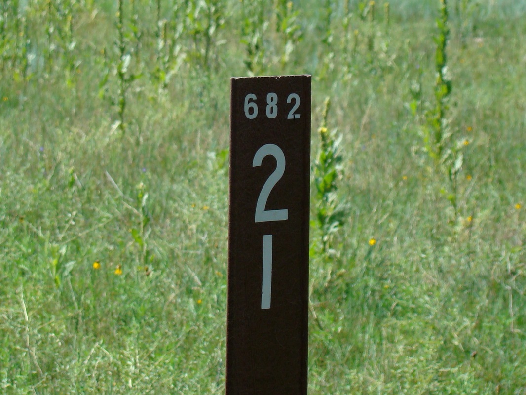
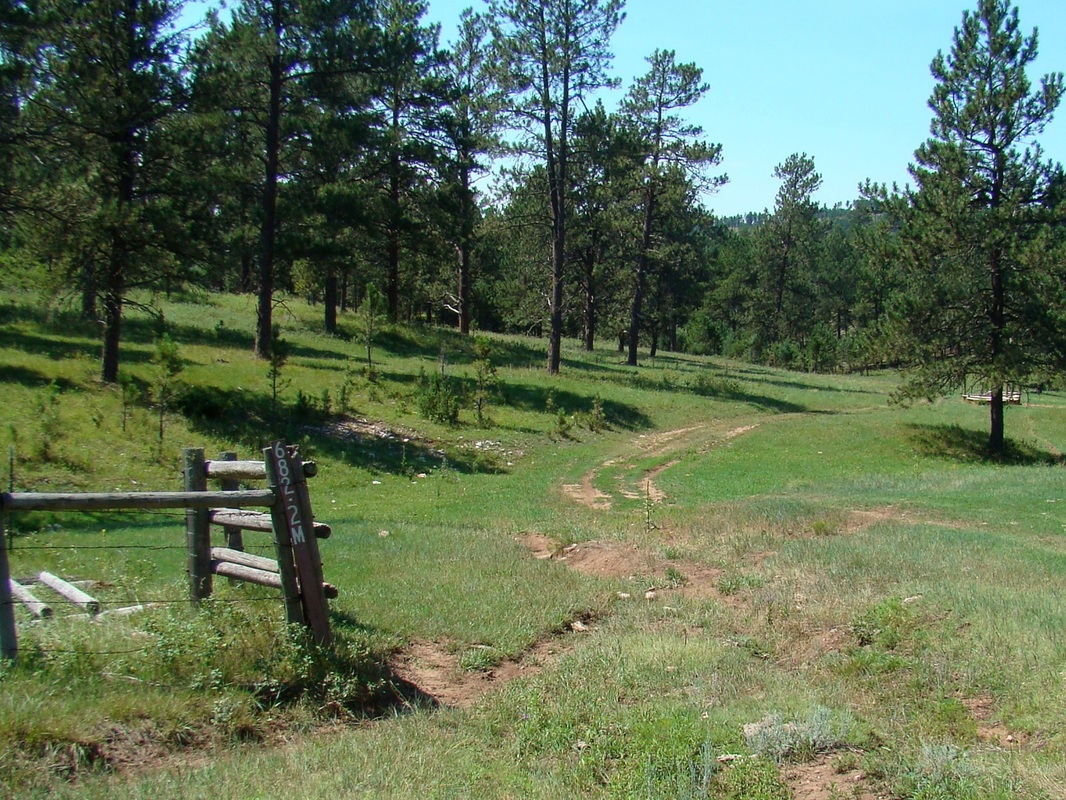
2. From Forest Road 682.2Q: Out-and-back options from here would be to Song Dog Road for a one-way hike of 1.4 miles; or a 3.1 miles (one-way) hike to the canyon mouth and back. You could do the second loop route described above, but starting your hike from this point instead. If you just want to do a short loop to see Onyx Cave and a short section of the canyon, you can hike over to Access Point 3, then up to the junction of FSR682.2N & FSR682.2Q, then back to Access Point 2 for a 1.7-mile loop. It’s worth noting here that the forest service road maps show 682.2Q as going through the canyon and joining with Song Dog Road. But, when you get to Song Dog Road, the sign there says the road you are on is 682.2I. Furthermore, partway between the canyon floor and Song Dog Road, there is a forest road junction and the road into the canyon has a marker that says “682.2M”. This can get confusing, so study the map on this page carefully if you choose to go that route.
3. From the end of FSR682.2N plus an old unmarked road into the canyon:
An out-and-back from here to Song Dog Road is 1.9 miles (one-way), and an out-and-back from here to the canyon mouth is 2.6 miles (one-way). You can also do any of the loop routes listed above that include Access Point 3. There is generally very little traffic on Song Dog Road and even less on FSR682.2N and FSR682.2Q. So, it’s very possible that if you choose to do any loop hike, you will have these roads to yourself.
4. From the mountain bike trailhead at Argyle Road: This trailhead has no signs. It is about 1.5 miles west of Highway 385, past the bottom of Cold Brook Canyon and two houses on the right. There is sort of a clearing there with the trail starting by the trees at the edge. Any route you create using this trail will have to be an “out-and-back”, unless you have someone to pick you up at the other end.
1. From Song Dog Road: For a 4.5-mile (one-way) out-and-back hike from the west, you can travel one mile north past FSR682.2N and park alongside the road there. This is just above where the watershed turns into a canyon. Following the canyon 4.5 miles downstream will take you to the mouth of the canyon where it joins Cold Brook Canyon. You will encounter “no trespassing” private property less than a quarter-mile from where Wildcat Creek joins Cold Brook Canyon. Of course, you can also do an out-and-back of any shorter length you wish from this access point too.
A loop route from Song Dog Road would be possible by exiting the canyon at Access Point 2 (see map) and hiking back on FSR682.2Q, FSR682.2N and Song Dog Road back to your start point. This loop would be about 3.8 miles. Or, if you wanted a little longer loop route that included Onyx Cave, you could exit the canyon at Access Point 3 and hike FSR682.2N back to Song Dog Road and your start point. This loop would be about 4 miles.
As you study the map, you will see there is another loop route option using the canyon floor pathway, Song Dog Road, 682.2l, 682.2M and 682.2Q. This loop would be around 4 miles also.
2. From Forest Road 682.2Q: Out-and-back options from here would be to Song Dog Road for a one-way hike of 1.4 miles; or a 3.1 miles (one-way) hike to the canyon mouth and back. You could do the second loop route described above, but starting your hike from this point instead. If you just want to do a short loop to see Onyx Cave and a short section of the canyon, you can hike over to Access Point 3, then up to the junction of FSR682.2N & FSR682.2Q, then back to Access Point 2 for a 1.7-mile loop. It’s worth noting here that the forest service road maps show 682.2Q as going through the canyon and joining with Song Dog Road. But, when you get to Song Dog Road, the sign there says the road you are on is 682.2I. Furthermore, partway between the canyon floor and Song Dog Road, there is a forest road junction and the road into the canyon has a marker that says “682.2M”. This can get confusing, so study the map on this page carefully if you choose to go that route.
3. From the end of FSR682.2N plus an old unmarked road into the canyon:
An out-and-back from here to Song Dog Road is 1.9 miles (one-way), and an out-and-back from here to the canyon mouth is 2.6 miles (one-way). You can also do any of the loop routes listed above that include Access Point 3. There is generally very little traffic on Song Dog Road and even less on FSR682.2N and FSR682.2Q. So, it’s very possible that if you choose to do any loop hike, you will have these roads to yourself.
4. From the mountain bike trailhead at Argyle Road: This trailhead has no signs. It is about 1.5 miles west of Highway 385, past the bottom of Cold Brook Canyon and two houses on the right. There is sort of a clearing there with the trail starting by the trees at the edge. Any route you create using this trail will have to be an “out-and-back”, unless you have someone to pick you up at the other end.
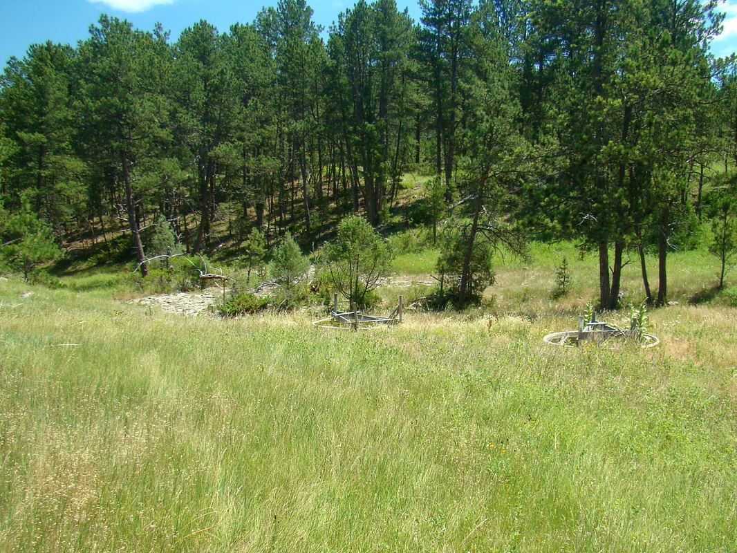
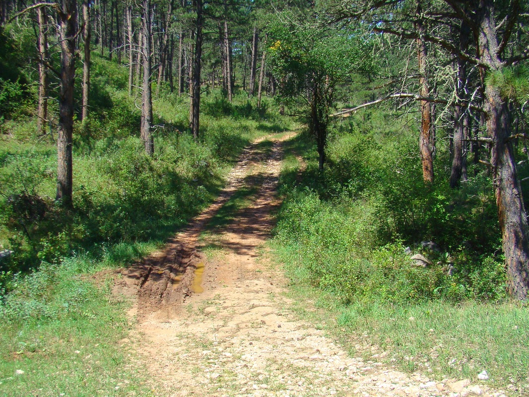
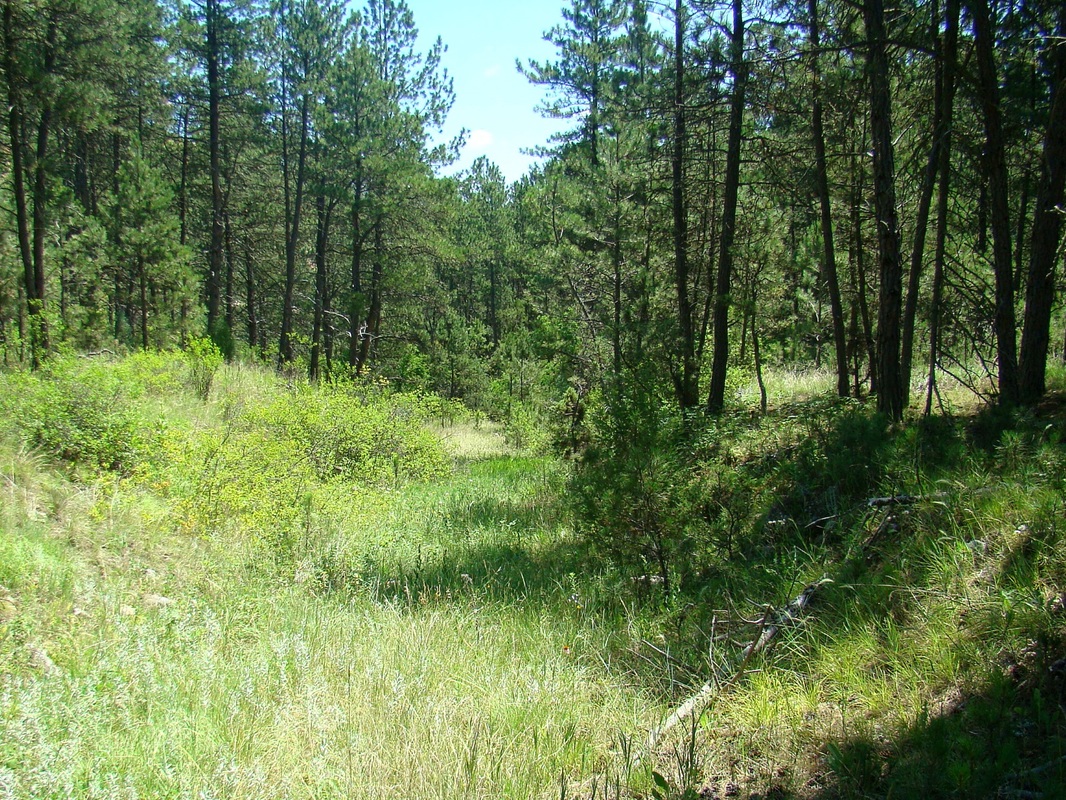
Navigational photos for hiking in and around Wildcat Canyon


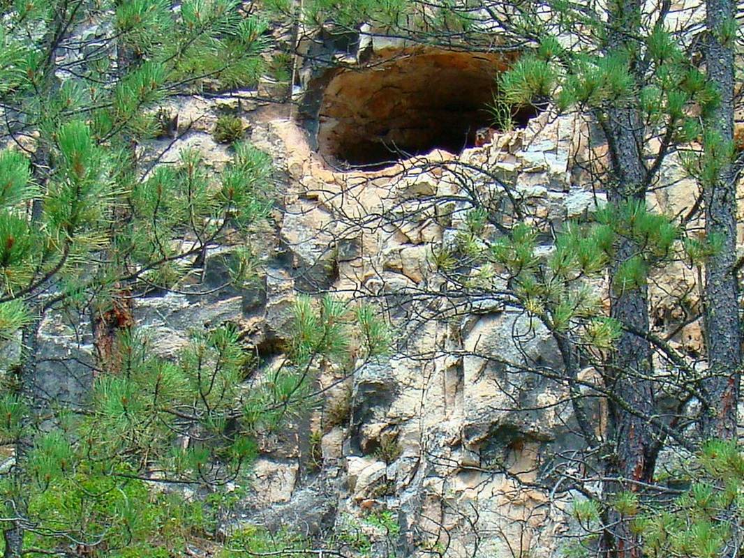
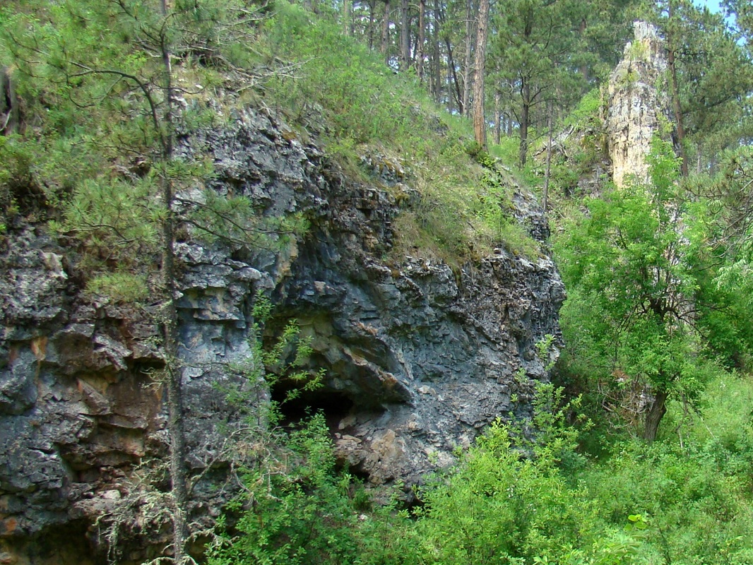
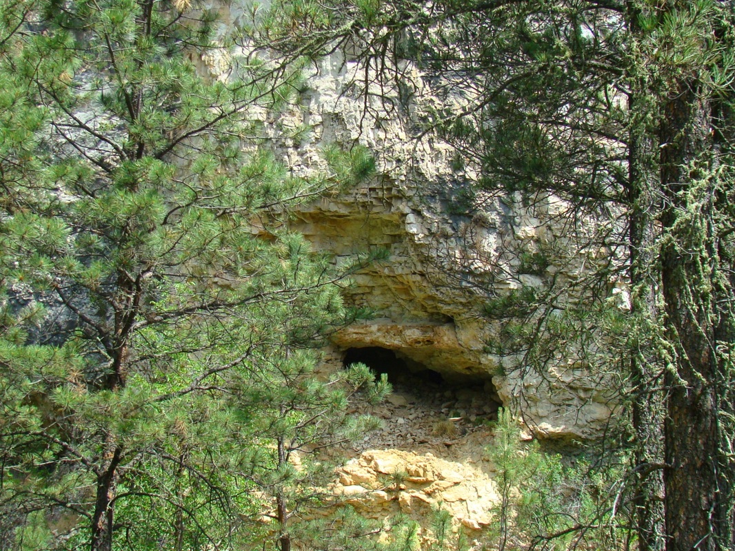
Photos of some of the caves of Wildcat Canyon
It is good to give thanks to the Lord and to sing praises to Your name, O Most High; to declare Your loving kindness in the morning and Your faithfulness by night, Psalm 92:1-2
