Cold Brook Canyon
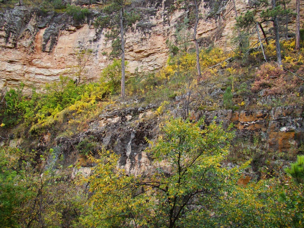
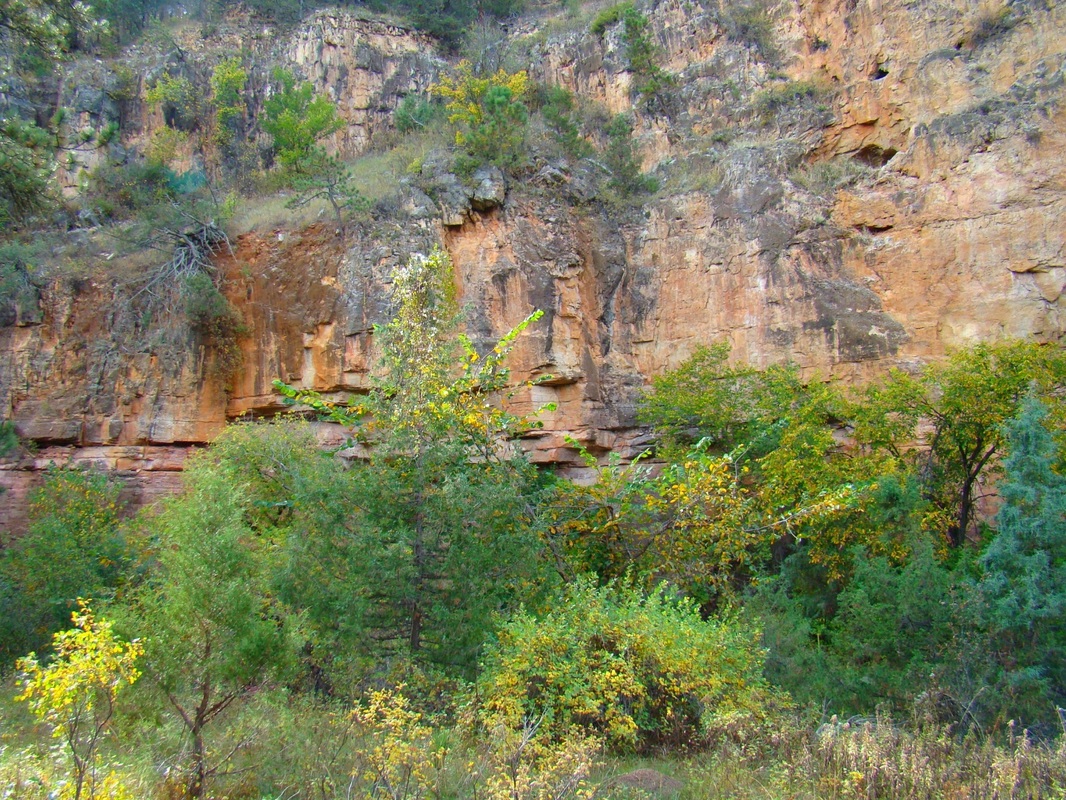
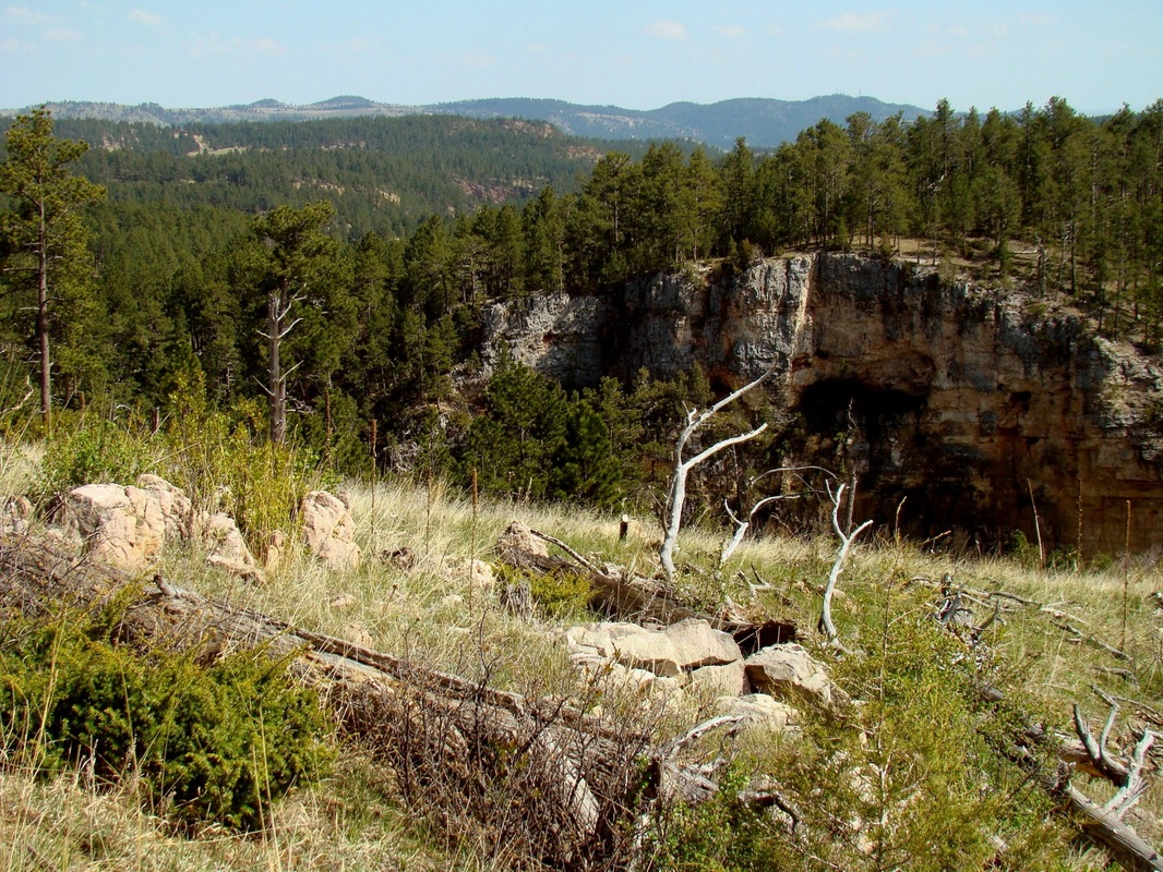
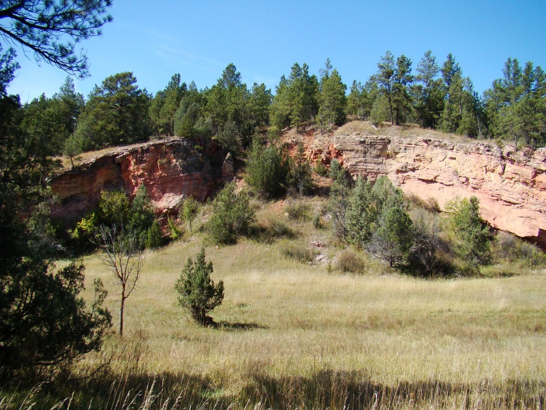
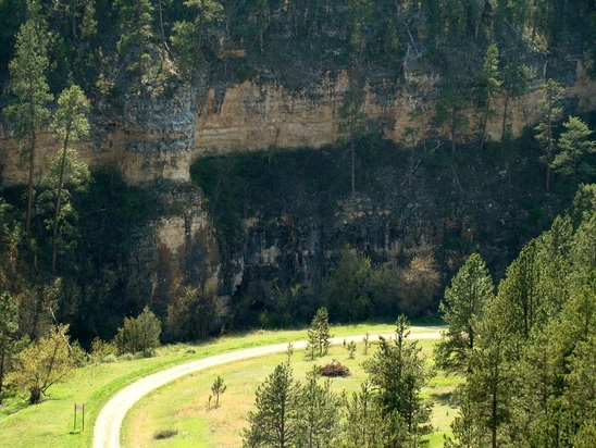 A limestone wall in upper Cold Brook Canyon, along Song Dog Road
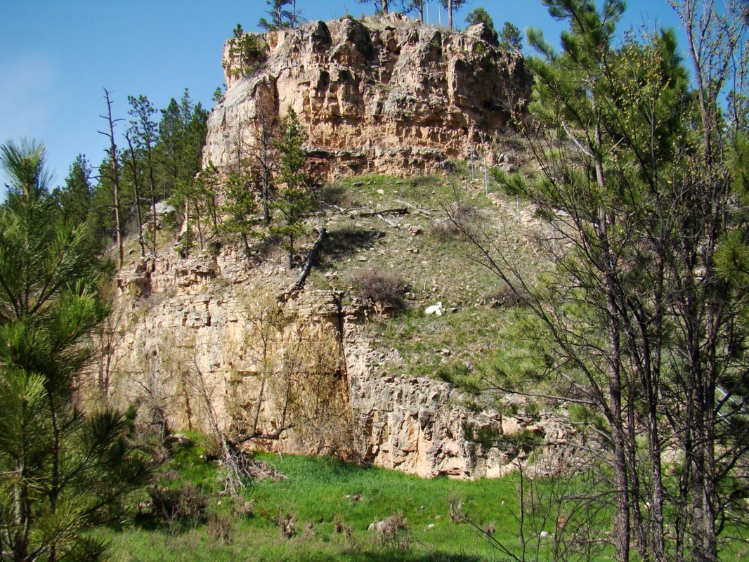
A significant portion of Cold Brook Canyon lies on private lands. However, there are also enough public lands in Cold Brook Canyon to provide ample access for those who like to explore canyons. If you include seldom-used roads, moderately-used roads and the Cold Brook Canyon Trail at Wind Cave National Park, there are close to seven miles of defined routes to explore. You can add to those seven miles all the roads and unofficial trails around Cold Brook Lake. The canyon begins in Custer County, with the drainage flowing in a southeasterly direction. Cold Brook joins with Hot Brook at the north edge of the city of Hot Springs to form the Fall River. The canyon's characteristics are similar to most other canyons in the southern and western Black Hills - limestone walls of varying heights, from 100 to 200 feet high in many places, with steep hillsides defining the rest of the canyons' courses. Public access to the canyon is generally in three areas: 1. The upper canyon area, upstream from Wind Cave National Park's west boundary; 2. Wind Cave National Park; and 3. the lower canyon area, downstream from Wind Cave National Park, which would include Cold Brook Lake. More details and photos of these three areas are posted below. We have also posted a page on SummitPost that gives more information on Cold Brook Canyon.
Upper Cold Brook Canyon
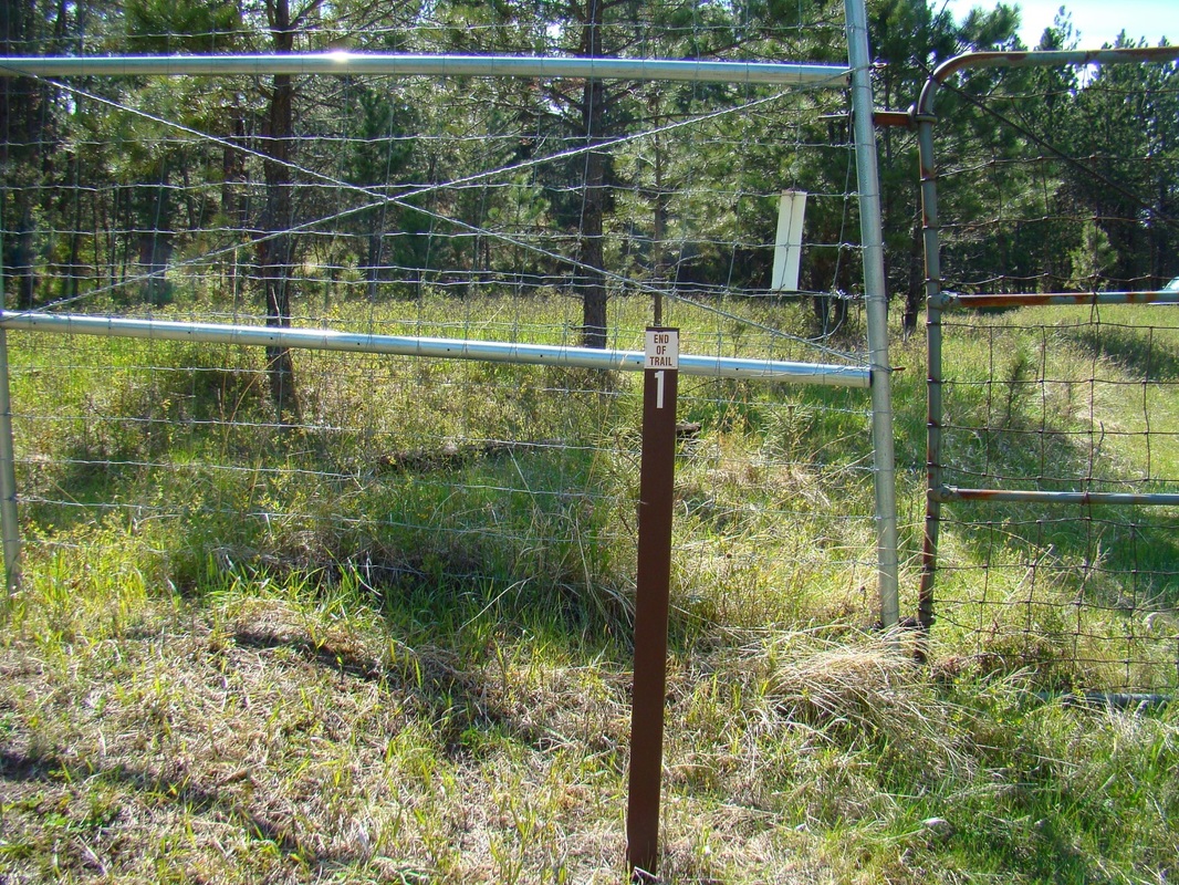
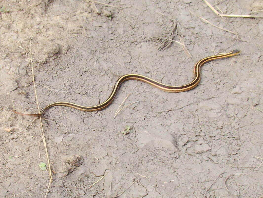
To reach the best access point for exploring upper Cold Brook Canyon, travel north 2 miles north from Hot Springs on Highway 385 to Argyle Road. Turn west and travel 6.2 miles to Song Dog Road. Travel 5.2 miles north on Song Dog Road (sometimes a pretty rough road) until you reach the bottom of Cold Brook Canyon. You will see the high game fence of Wind Cave National Park to the east. Fossil Ridge is the small summit on the north side of Cold Brook in the park. On the west side of the road, just past the limestone wall and springs, is an old forest service road, 682.2A that branches off Song Dog Road. The old road crosses Cold Brook and comes to a gate that is almost always locked shut. This old road follows the floor of the canyon for 2 miles, until it comes to a private property line. Unless you have landowner permission, that pretty much is your limit to explore this section of the canyon. There are usually cows along the route, and I saw numerous non-poisonous snakes along the way. It is usually a very quiet and peaceful hike out-and-back.
Back at the trailhead, you are allowed to go over and scale the high fence into Wind Cave National Park, should you desire to hike up Fossil Ridge. So long as there is not a buffalo herd there, this is one way to climb Fossil Ridge without running a possible "buffalo gauntlet" on the Cold Brook Trail at Wind Cave National Park. If you do go over the fence, you will be at the western end of the Cold Brook Trail.


Cold Brook Canyon Trail - Wind Cave National Park
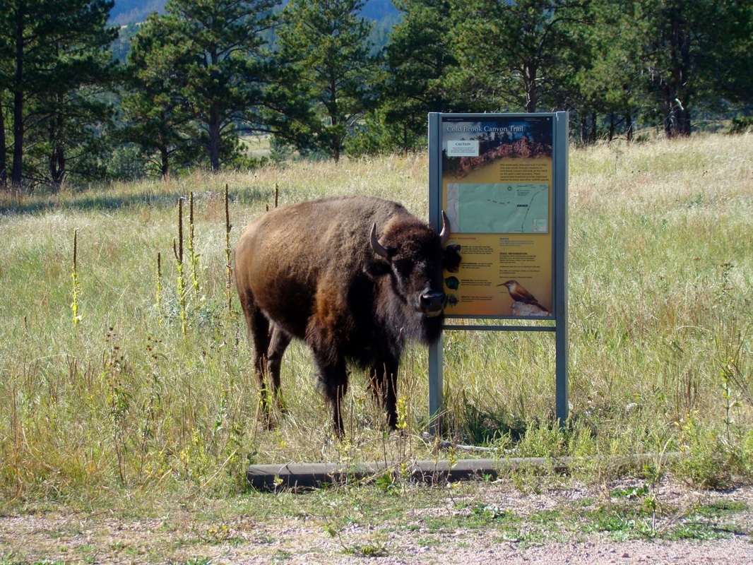
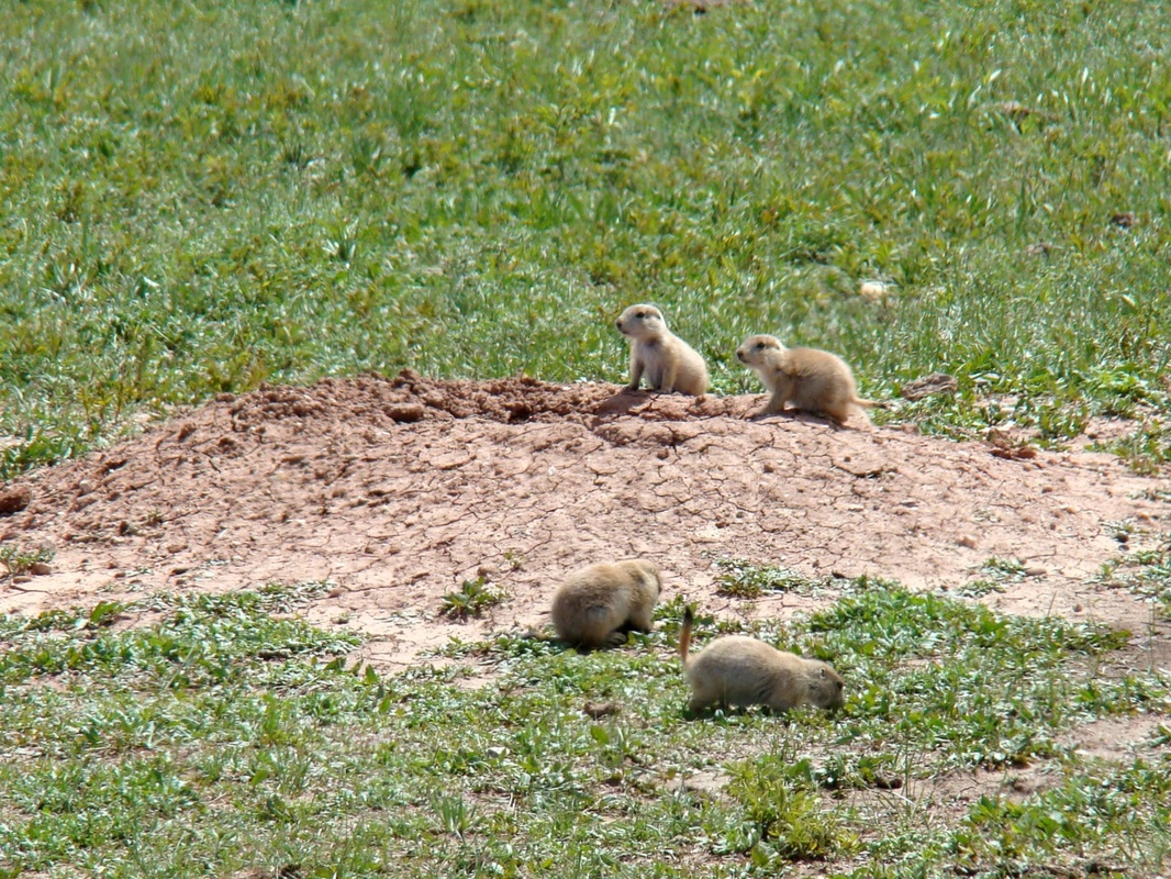
The trailhead for the Cold Brook Canyon Trail is located along Highway 385, about 8.7 miles north of Hot Springs, or 1.4 miles north of the south entrance to the park. There is a small parking lot there, that is sometimes the resting place for one or more buffalo. If there are buffalo on or close to the trail, it's not a good idea to continue your hike at that time (it's time for "Plan B"). But, if the coast is clear, the trail winds down to the canyon floor and 1.4 miles to Fossil Ridge and the western boundary of the park. Along the way, you will see a prairie dog town, a buffalo wallow between rock walls and plenty of open ground for buffalo and elk to roam. You also may see pronghorn antelope or deer along the way. Wind Cave National Park offers an online Cold Brook Canyon Trail Map on their park trails map.
The trailhead for the Cold Brook Canyon Trail is located along Highway 385, about 8.7 miles north of Hot Springs, or 1.4 miles north of the south entrance to the park. There is a small parking lot there, that is sometimes the resting place for one or more buffalo. If there are buffalo on or close to the trail, it's not a good idea to continue your hike at that time (it's time for "Plan B"). But, if the coast is clear, the trail winds down to the canyon floor and 1.4 miles to Fossil Ridge and the western boundary of the park. Along the way, you will see a prairie dog town, a buffalo wallow between rock walls and plenty of open ground for buffalo and elk to roam. You also may see pronghorn antelope or deer along the way. Wind Cave National Park offers an online Cold Brook Canyon Trail Map on their park trails map.


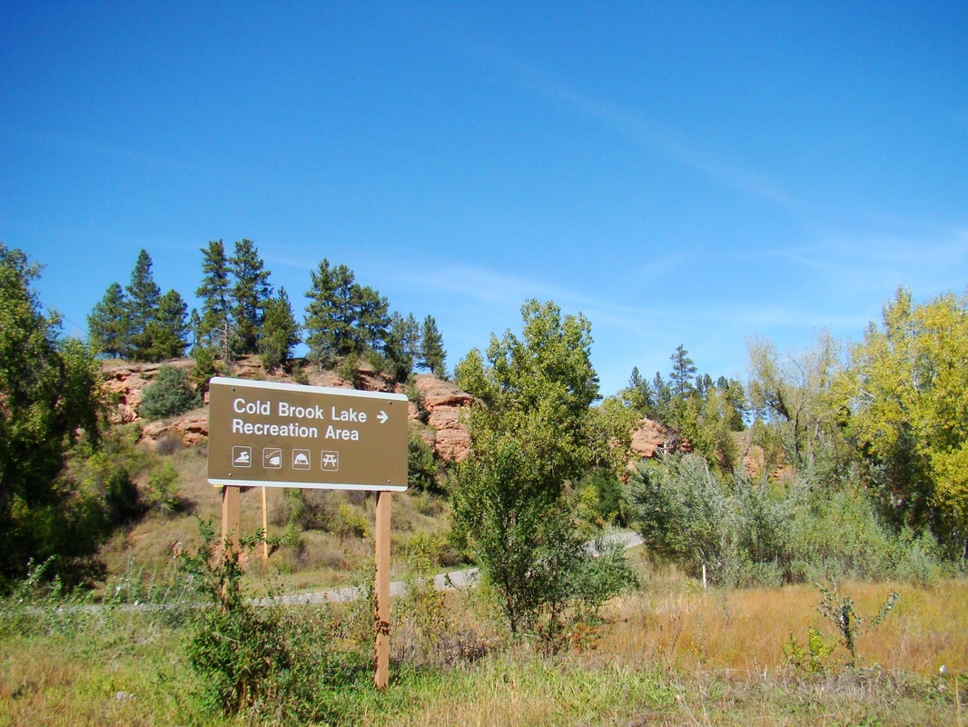
Lower Cold Brook Canyon
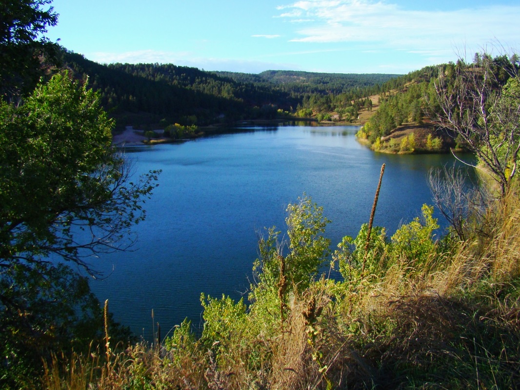
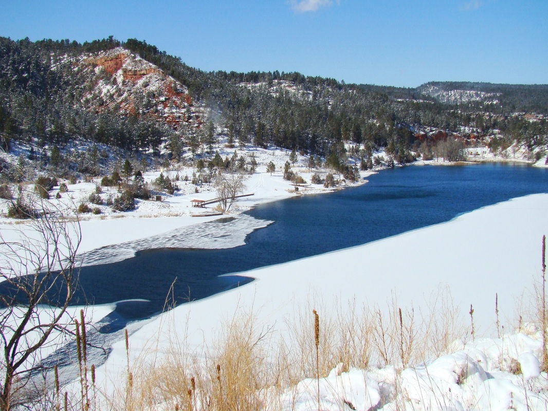
The Army Corps of Engineers (COE) built a 1-mile road from Argyle Road (2 miles north of Hot Springs) to the upper end of Cold Brook Lake, during construction of the reservoir. The road is open to foot traffic, bicycles, and horses and makes an easy and quiet hike through the lower part of the canyon. The COE Road mini-parking lot is 1.1 miles from Highway 385 on Argyle Road. There is often mountain lion scat along this road, but sightings of the lions are very rare. Once hikers arrive at the lake, the road that surrounds the lake provides more hiking opportunities, plus there are a few unofficial trails in the area.
The Army Corps of Engineers (COE) built a 1-mile road from Argyle Road (2 miles north of Hot Springs) to the upper end of Cold Brook Lake, during construction of the reservoir. The road is open to foot traffic, bicycles, and horses and makes an easy and quiet hike through the lower part of the canyon. The COE Road mini-parking lot is 1.1 miles from Highway 385 on Argyle Road. There is often mountain lion scat along this road, but sightings of the lions are very rare. Once hikers arrive at the lake, the road that surrounds the lake provides more hiking opportunities, plus there are a few unofficial trails in the area.

But our God is in
the heavens; He does whatever He pleases. Psalm 115:3
